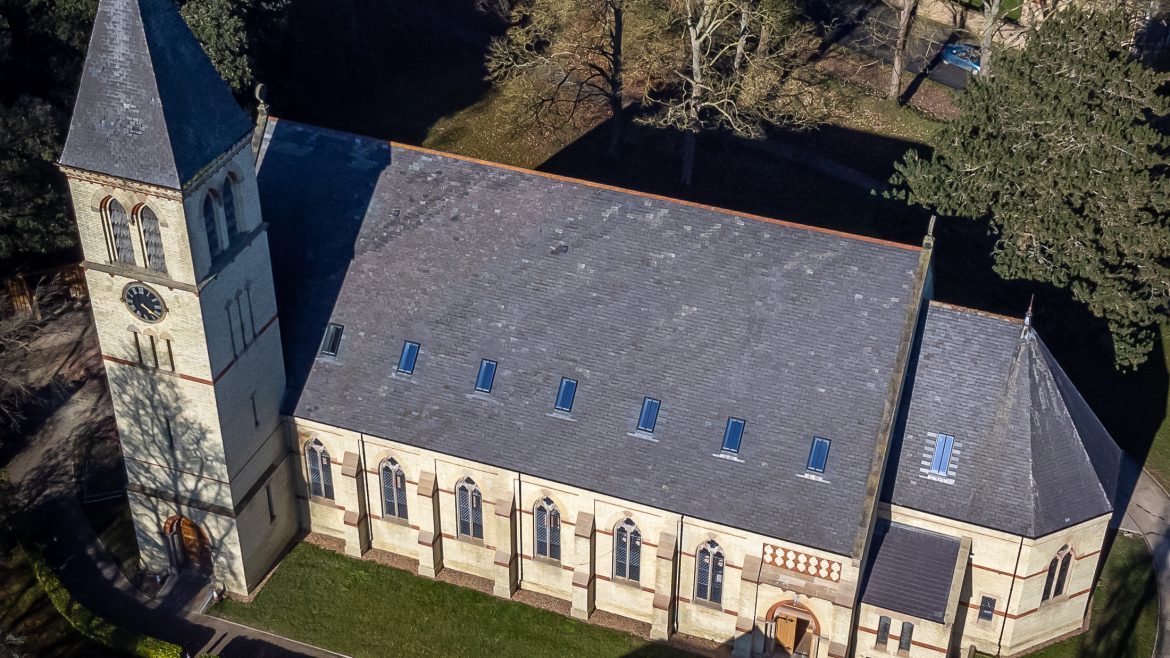
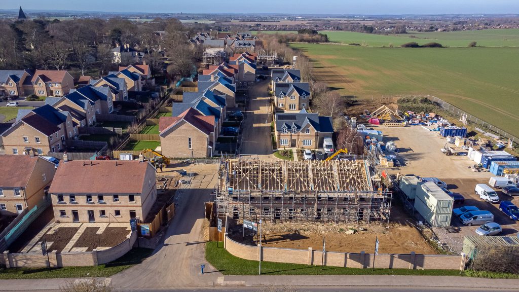
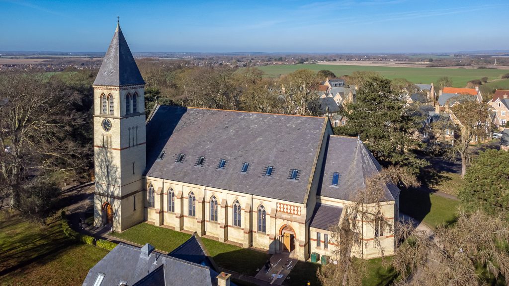
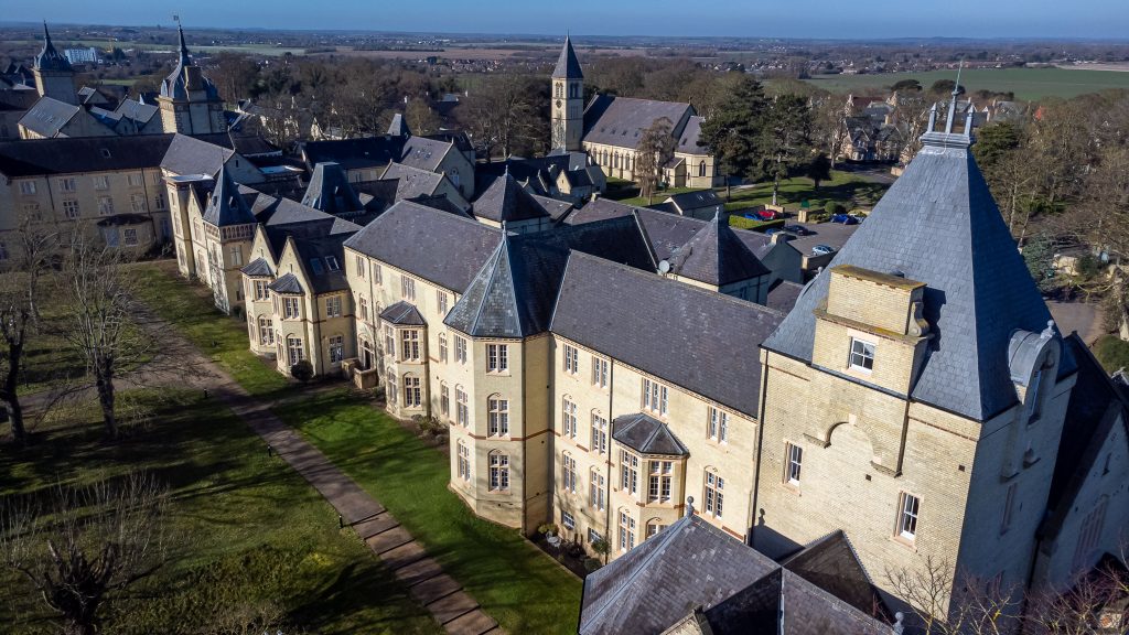
Arlesey Road | Stotfold | Construction Site Progress Photography
http://completepropertyphotography.co.uk/wp-content/themes/osmosis/images/empty/thumbnail.jpg 150 150 John McBurney John McBurney http://2.gravatar.com/avatar/2daa3d33e5be3970e2d19885a7aeb2a0?s=96&d=mm&r=gArlesey Road Stotfold
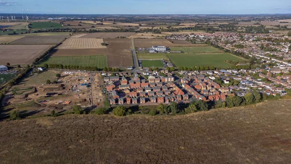
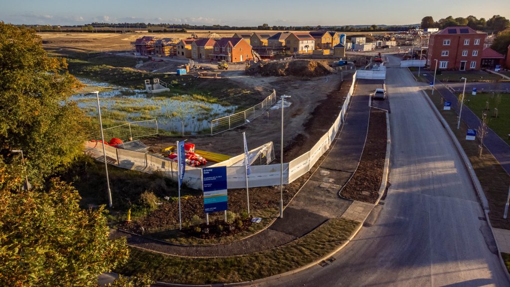
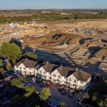
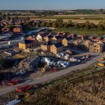
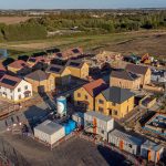
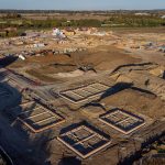
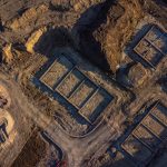
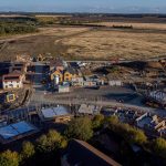
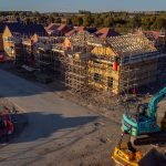
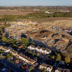
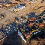
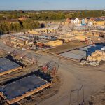
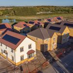
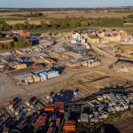
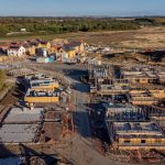
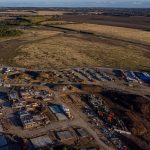
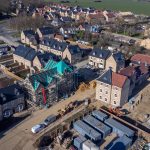
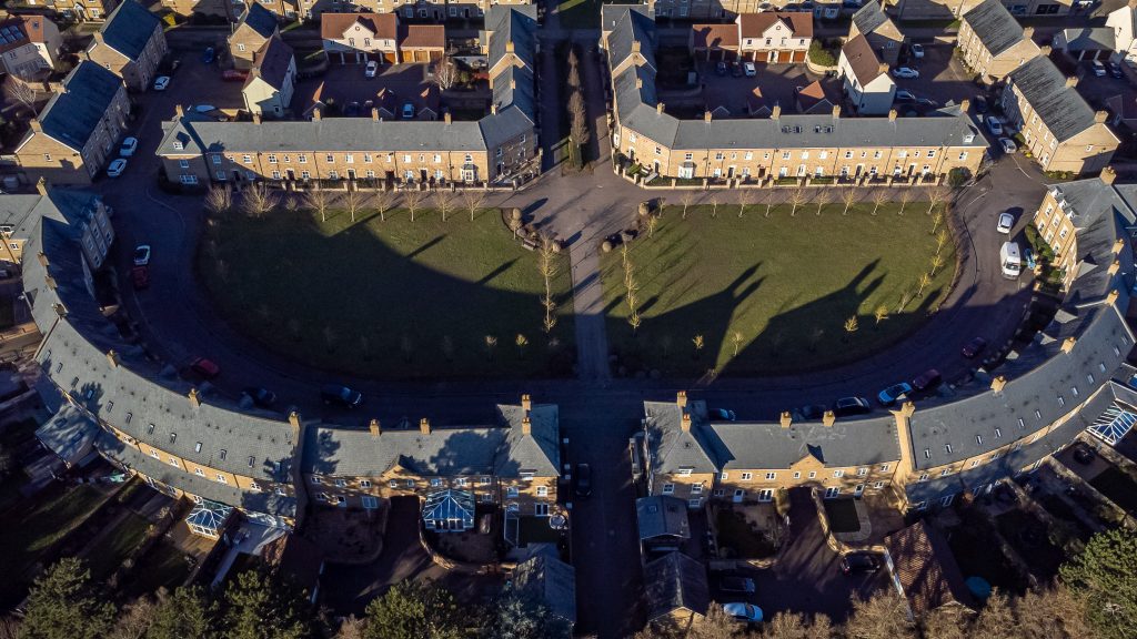
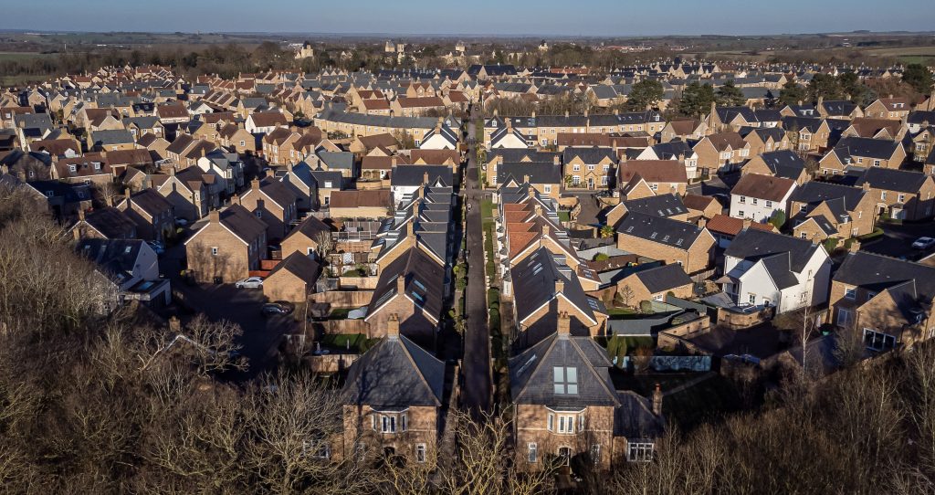
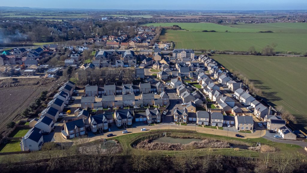
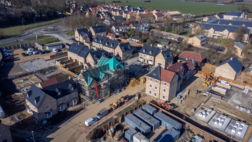
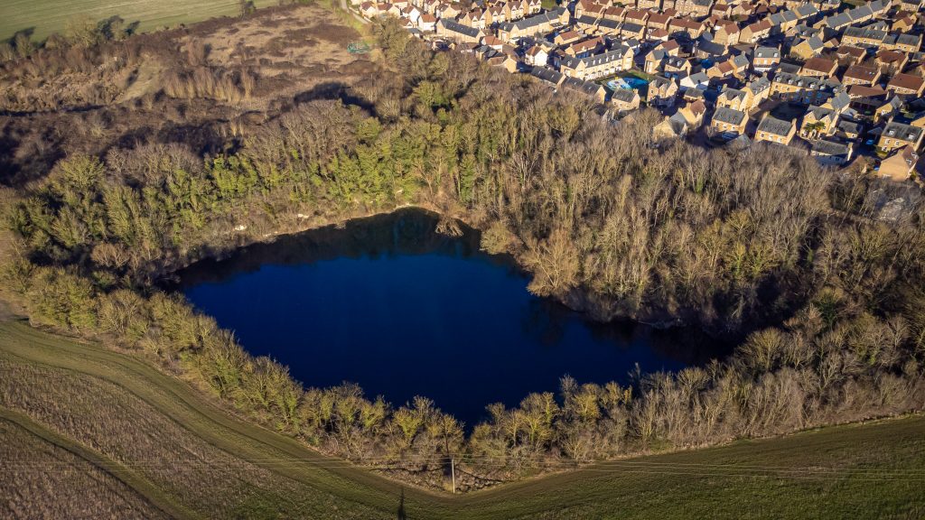
Aerial drone photography is transforming the way construction progress is monitored and showcased. At the Cala Homes construction site on the west side of Arlesey Road in Stotfold, drone photography provides an unparalleled perspective of the development. By capturing high-resolution images from above, drones reveal the true size and scale of the project, far beyond what ground-level photography can offer.
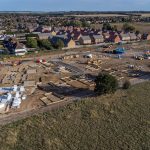
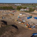
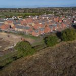
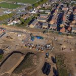
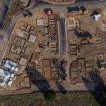
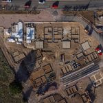
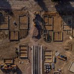
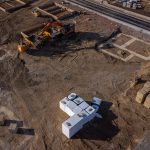
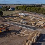
This bird’s-eye view highlights how the new homes integrate with the existing town and neighbouring residential areas, offering stakeholders, residents, and potential buyers a clear understanding of the site’s layout and progress over time. Regular drone flights can document each stage of construction, providing an accurate visual record that supports reporting, marketing, and community engagement.
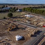
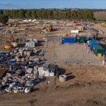
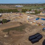
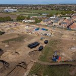
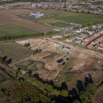
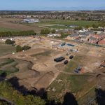
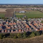
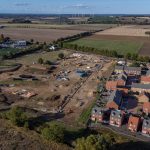
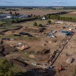
Aerial photography is more than just striking imagery — it’s a practical tool for transparency, communication, and demonstrating how the development complements the local environment.